地理漫步·世界地理英语精读30篇(3)
24 / 30
正在确认阅读权限…
Hainan Island Typhoon Trajectories: Urban Coastal Planning, Mangrove Buffer Zones, and Evacuation Equity
海南岛台风路径:滨海城市规划、红树林缓冲带与疏散公平性
-
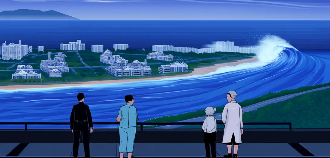
Hainan’s typhoon exposure has intensified since 2010, with Category 3+ landfalls increasing 40%—driven by warmer South China Sea sea-surface temperatures and weakened steering winds.2010年以来,海南台风暴露风险加剧,强台风(三级及以上)登陆次数增加40%,主因是南海海表温度升高和引导气流减弱。
-
Haikou’s new coastal boulevard features elevated walkways and flood-adaptive street lighting, yet informal fishing settlements remain excluded from municipal drainage upgrades despite occupying highest-risk intertidal zones.海口新建滨海大道设有架空步道和防洪自适应路灯,但占据最高风险潮间带的非正规渔村仍未纳入市政排水系统升级范围。
-
Mangrove restoration along Wenchang’s eastern coast reduced wave energy by 65% during Typhoon Doksuri (2023), but planting prioritized tourist-facing shorelines over subsistence crab-harvesting areas.文昌东海岸红树林修复工程在2023年台风‘杜苏芮’期间削减波浪能量65%,但种植优先面向游客的岸线,而非依赖捕蟹为生的社区区域。
-
Evacuation drills now incorporate dialect-specific alerts and multilingual signage, yet elderly Hainanese speakers in inland villages report receiving warnings only after storm surge had already breached seawalls.疏散演练现已采用方言预警和多语标识,但内陆村庄讲海南话的老年居民反映,风暴潮已漫过海堤后才收到警报。
-
Urban planners use LiDAR-derived elevation models to simulate inundation across 127 coastal villages—but fail to integrate household-level mobility constraints like lack of motor transport or caregiving responsibilities.城市规划者利用激光雷达生成的高程模型模拟127个沿海村庄的淹没情景,却未整合家庭层面的行动限制因素,如缺乏机动车或照护责任。
-
Fishermen’s cooperatives co-manage early-warning buoys calibrated to detect rapid pressure drops, transmitting real-time data directly to provincial emergency centers via low-bandwidth mesh networks.渔民合作社共同管理早期预警浮标,浮标经校准可探测气压骤降,并通过低带宽网状网络将实时数据直传省级应急中心。
-
Post-typhoon recovery funds flow fastest to districts with formal property titles, disadvantaging 38% of coastal residents who hold customary or undocumented tenure.台风灾后重建资金最快拨付给拥有正式产权证的辖区,使占沿海居民38%、仅持有习惯法或无证产权者处于不利地位。
-
Architects are piloting ‘typhoon-resilient courtyards’—ventilated, elevated compounds that double as evacuation shelters while preserving courtyard-based social cohesion.建筑师正试点‘抗台风庭院’——通风、抬高的院落式建筑,兼具避难所功能,同时维系以庭院为基础的社会凝聚力。
-
Satellite tracking of typhoon eye-wall contraction shows increased unpredictability in final 72-hour paths, undermining reliance on fixed evacuation timelines.卫星追踪显示台风眼墙收缩过程加剧,导致登陆前72小时路径更难预测,削弱了对固定疏散时间表的依赖。
-
Hainan’s 2025 Coastal Resilience Framework mandates mangrove buffers of minimum 200 meters—but allows exemptions for ‘strategic tourism developments’ approved at provincial level.海南《2025年海岸韧性框架》强制要求红树林缓冲带宽度不少于200米,但允许省级批准的‘战略性旅游开发项目’豁免。
-
This spatial inequity reveals how disaster resilience is never neutral: it redistributes risk along pre-existing lines of tenure, language, age, and economic informality.这种空间不公揭示:灾害韧性从不中立,它沿既有的产权、语言、年龄与经济非正规性等界线重新分配风险。
-
On Hainan, typhoon geography is inseparable from questions of who moves first, who stays behind, and whose shoreline counts as worth protecting.在海南,台风地理学无法脱离以下问题:谁最先撤离、谁滞留原地、谁的海岸线才被视为值得保护。