正在确认阅读权限…
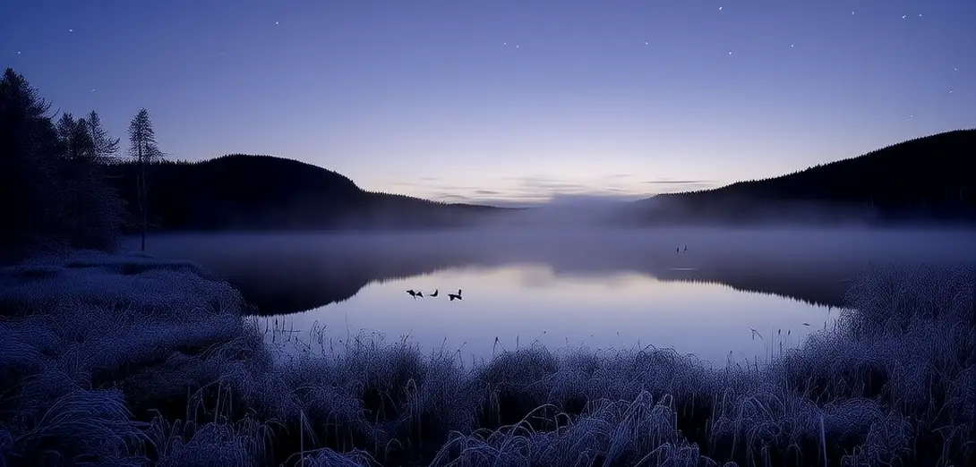
How Fog Forms Over Cold Lakes in Early Morning
冷湖晨雾如何形成:水汽凝结的物理条件
-
Fog often appears over cold lakes just before sunrise when air temperature drops rapidly.日出前气温骤降时,冷湖面上常出现雾。
-
The lake surface stays relatively warmer than the surrounding air overnight due to water’s high heat capacity.因水的比热容大,湖面夜间降温慢,温度通常高于周围空气。
-
Moist air near the water cools below its dew point as it contacts cooler air layers above.贴近水面的潮湿空气接触上方较冷气层后,温度降至露点以下。
-
This cooling causes invisible water vapor to condense into tiny liquid droplets suspended in air.这种降温使不可见的水蒸气凝结成悬浮于空气中的微小液滴。
-
Radiation cooling from the ground enhances this effect, especially under clear, calm night skies.地面辐射冷却会加剧这一现象,尤其在晴朗、无风的夜晚。
-
Unlike steam fog, this type is called 'radiation fog' and forms most frequently in autumn.与蒸汽雾不同,此类雾称为‘辐射雾’,多出现在秋季。
-
Wind speeds below 3 mph help maintain stable layers needed for fog development.风速低于3英里/小时有助于维持雾形成所需的稳定气层。
-
Scientists monitor humidity, temperature gradients, and wind patterns to forecast such fog events accurately.科学家通过监测湿度、温度梯度和风场来准确预报此类雾。
-
Local weather stations use infrared sensors to detect surface cooling rates in real time.当地气象站利用红外传感器实时探测地表冷却速率。
-
Understanding fog formation improves safety for morning boaters and low-altitude pilots.了解雾的形成机制有助于提升清晨船员和低空飞行员的安全。