正在确认阅读权限…
Salt-Printed Maps in Tunisia
突尼斯盐印地图
-
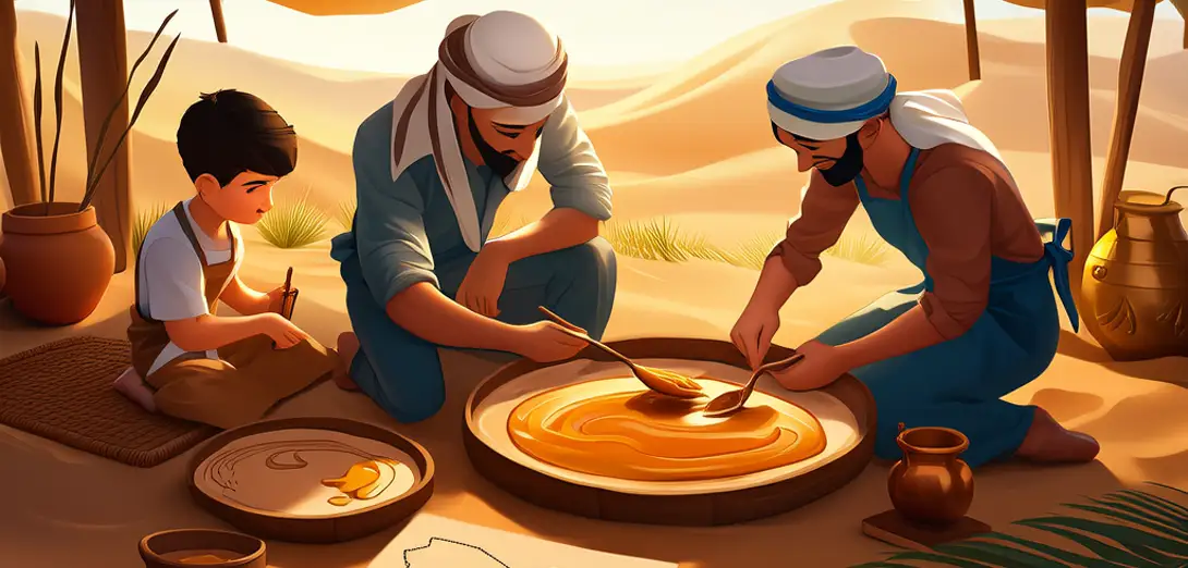
Artisans mix sea salt, date syrup, and desert clay into thick paste.工匠将海盐、椰枣糖浆和沙漠黏土混合成浓稠糊状。
-
They press palm-frond stamps onto wet plaster walls along caravan routes.他们将棕榈叶制成的印模按压在商队路线沿途潮湿的灰泥墙上。
-
Each stamp shows old oasis names, well depths, and star paths.每个印模都刻有古老的绿洲名称、水井深度和星轨路径。
-
Salt crystals form tiny white maps as walls dry in hot desert air.墙壁在炎热的沙漠空气中变干,盐晶形成细小的白色地图。
-
Travelers trace routes with fingertips—not pens or phones.旅人用指尖而非笔或手机描摹路线。
-
Rain erases the maps, but new ones appear after each dry season.雨水会冲掉这些地图,但每个旱季过后又会出现新的。
-
This tradition marks memory—not territory—on shifting sands.这一传统在流沙之上标记记忆,而非疆域。
-
It survives in Ghadames’ ancient mud-brick alleyways.这一传统至今仍在加达梅斯古城的泥砖小巷中延续。