STEM与日常科技·英语30篇(1)
17 / 30
正在确认阅读权限…
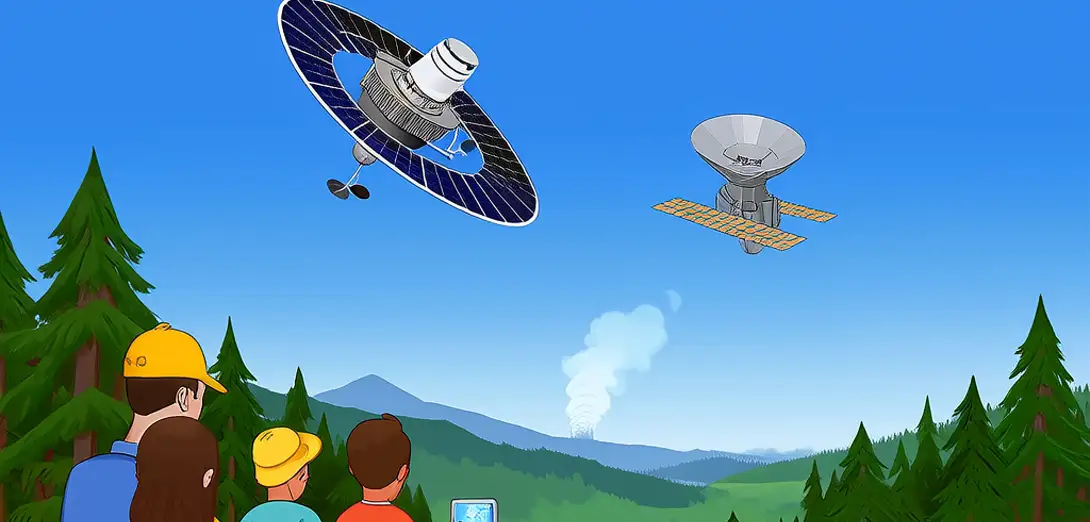
Satellites That Track Wildfires in Real Time
实时追踪野火的卫星系统
-
Geostationary and polar-orbiting satellites like GOES and Sentinel-3 carry infrared sensors that detect heat signatures day and night.静止轨道和极地轨道卫星(如GOES和Sentinel-3)搭载红外传感器,可全天候探测热信号。
-
These instruments spot fire hotspots even through smoke by measuring thermal radiation emitted at specific wavelengths.这些仪器通过测量特定波长的热辐射,即使在浓烟中也能识别火点。
-
Algorithms combine temperature data, land cover maps, and wind forecasts to predict fire spread direction and speed.算法融合温度数据、地表覆盖图和风速预报,预测火灾蔓延方向与速度。
-
Fire managers receive automated alerts within minutes of satellite detection, allowing faster evacuation and resource deployment.火情管理人员在卫星探测后数分钟内即收到自动警报,从而加快疏散与资源调度。
-
High-resolution imagery from Landsat and VIIRS helps map active fire perimeters and assess burn severity afterward.Landsat和VIIRS提供的高分辨率影像有助于绘制活跃火场边界,并评估过火区域严重程度。
-
Satellites cannot see flames directly through thick clouds, but multi-sensor fusion compensates using atmospheric modeling.卫星无法透过厚云直接观测火焰,但多传感器融合结合大气建模可弥补这一局限。
-
New constellations like FireSat plan dozens of small satellites to image any location every 10 minutes during peak fire season.FireSat等新型卫星星座计划部署数十颗小型卫星,在火灾高发季实现每10分钟对任一地点成像一次。
-
Data from space complements ground cameras and drone surveys, creating layered situational awareness for emergency teams.太空数据与地面摄像头及无人机巡检互补,为应急队伍提供分层的情境感知能力。
-
Long-term satellite records also reveal how climate change increases fire frequency and intensity across vulnerable regions.长期卫星记录还揭示气候变化正加剧脆弱地区的火灾频次与强度。
-
This orbital monitoring transforms wildfire response from reactive to increasingly predictive and proactive.这种轨道监测正将野火响应从被动应对逐步转向预测性与主动性。