STEM与日常科技·英语30篇(2)
4 / 30
正在确认阅读权限…
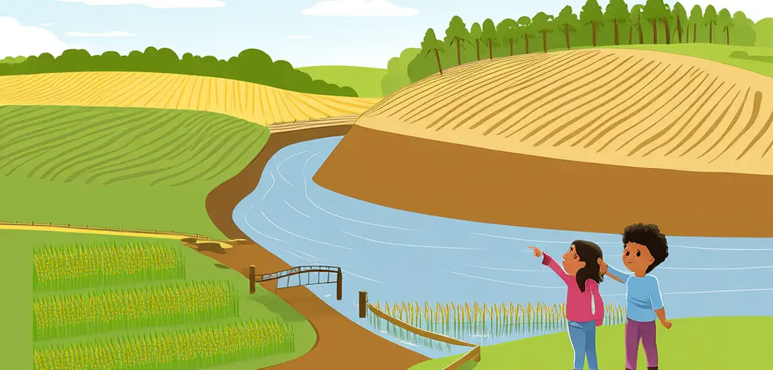
Flood Forecasting Using Watershed Models
洪水预报与流域模型
-
Watershed models divide land into small units called hydrologic response units, each with unique soil, slope, and vegetation data.流域模型将陆地划分为若干小单元,称为水文响应单元,每个单元具有独特的土壤、坡度和植被数据。
-
Rainfall forecasts feed into these models, which simulate how water flows across surfaces, soaks into ground, or runs into streams.降雨预报输入这些模型,模拟雨水在地表的流动、渗入地下或汇入溪流的过程。
-
Sensors upstream measure real-time rainfall, river depth, and soil moisture, updating predictions every few hours.上游传感器实时监测降雨量、河流水位和土壤湿度,每数小时更新一次预测。
-
Model outputs show not only flood timing but also peak water levels, flow speeds, and affected neighborhoods on digital maps.模型输出不仅显示洪水发生时间,还在数字地图上标出最高水位、水流速度及受影响社区。
-
Emergency teams use those maps to decide where to deploy sandbags, evacuate residents, or open floodgates early.应急团队依据这些地图决定沙袋布设位置、居民疏散区域或提前开启泄洪闸。
-
Urban areas pose special challenges because pavement prevents absorption, causing rapid runoff that overwhelms storm drains.城市地区面临特殊挑战:硬化路面阻碍雨水下渗,导致径流迅速汇集,超出排水系统承载能力。
-
Scientists calibrate models using historical flood data — if past events match simulations, future forecasts gain credibility.科学家利用历史洪水数据校准模型——若模拟结果与过往事件吻合,未来预报可信度便提高。
-
Machine learning now helps refine parameters like evaporation rates or infiltration speed under extreme weather conditions.机器学习现用于优化极端天气下的蒸发率、入渗速率等参数。
-
Public alerts via apps or radio often cite ‘1-in-50-year flood probability’, derived directly from model uncertainty analysis.手机应用或广播发布的公众预警常提及‘五十年一遇洪水概率’,该数值直接源自模型不确定性分析。
-
Better models won’t stop floods, but they give people critical extra hours to protect lives and property.更优模型虽无法阻止洪水,却能为民众争取关键数小时,以保护生命与财产。