地理漫步·世界地理英语30篇(1)
6 / 30
正在确认阅读权限…
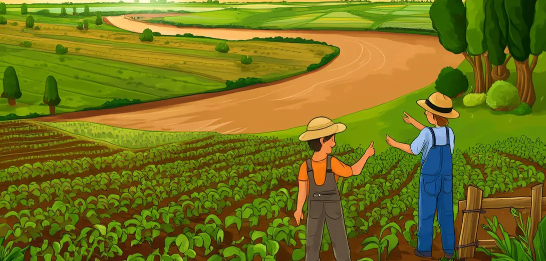
Mississippi Floodplain Farming
密西西比河洪泛平原农业
-
The Mississippi River’s floodplain stretches over 100,000 square kilometers, depositing nutrient-rich silt each time waters overflow their banks.密西西比河洪泛区面积逾10万平方公里,每次河水漫溢均带来富含养分的淤泥。
-
Farmers here rely on this natural fertilization, rotating cotton, soybeans, and rice without heavy synthetic inputs.当地农民依赖这种天然施肥方式,轮作棉花、大豆和水稻,无需大量施用合成肥料。
-
Levees built since the 1920s protect towns but also trap sediment upstream, starving downstream wetlands of rebuilding material.自20世纪20年代起修建的堤坝虽保护了城镇,却也拦截上游泥沙,导致下游湿地缺乏重建所需物质。
-
When floods do breach controls, they often inundate fields deliberately—called ‘flood irrigation’—to recharge soil moisture and suppress pests.当洪水突破管控时,常被有意引入农田——即所谓‘淹灌’——以补充土壤水分并抑制病虫害。
-
Drainage tiles buried beneath fields help remove excess water quickly after floods recede, preventing root rot in warm, humid summers.埋设于田间的排水暗管可在洪水退去后迅速排走多余水分,防止炎热潮湿夏季发生根腐病。
-
Agricultural extension agents teach soil-testing protocols so farmers apply lime or gypsum only where pH imbalances exist.农业推广人员指导农民开展土壤检测,仅在pH失衡区域施用石灰或石膏。
-
Wildlife refuges interspersed among farms provide habitat corridors for migratory birds and native pollinators.穿插于农田之间的野生动物保护区,为候鸟和本土传粉昆虫提供了栖息廊道。
-
Satellite imagery reveals that fields closest to the river show 22% higher yields on average than those farther inland.卫星影像显示,紧邻河流的农田平均产量比内陆农田高出22%。
-
Yet rising flood frequency—linked to intensified spring rainfall in the Upper Midwest—challenges long-term planning for crop cycles.然而,春季降雨加剧导致洪水频发——尤其在上中西部地区——正挑战着作物周期的长期规划。
-
Balancing productivity, flood safety, and ecosystem function remains the defining challenge of this working landscape.如何兼顾生产效益、防洪安全与生态系统功能,仍是这片耕作景观面临的核心难题。