地理漫步·世界地理英语精读30篇(2)
16 / 30
正在确认阅读权限…
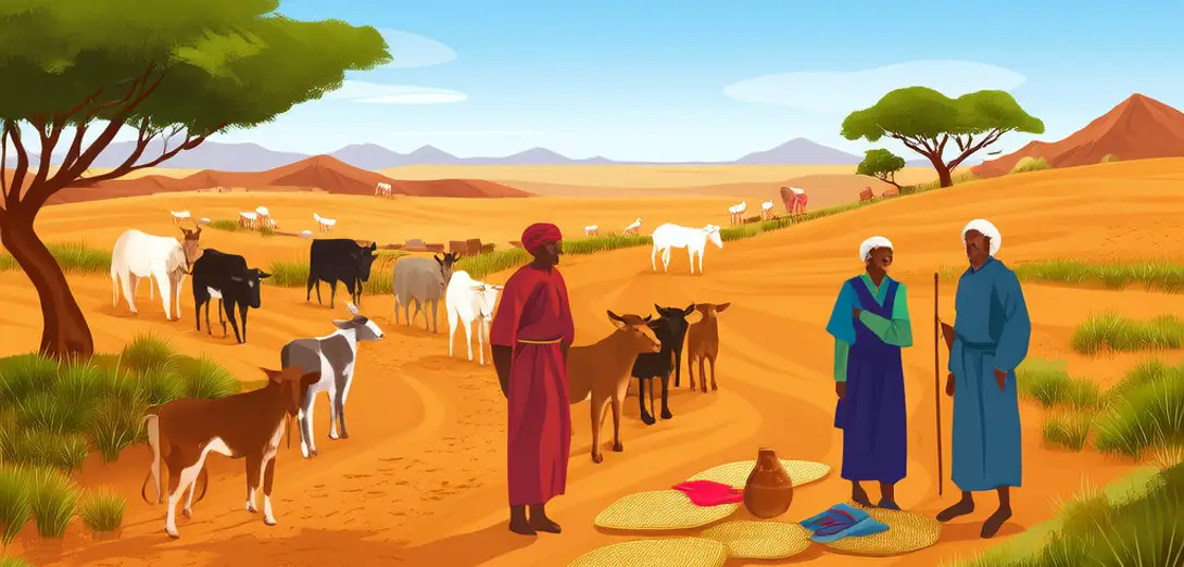
Sahelian Pastoral Corridors: Mobility as Climate-Adaptive Infrastructure
萨赫勒游牧通道:流动性作为气候适应型基础设施
-
Transhumance routes across Niger, Mali, and Chad are not informal paths but formally negotiated corridors governed by inter-ethnic treaties updated annually via elder councils.尼日尔、马里和乍得的游牧迁徙路线并非随意小径,而是由部族间条约正式约定的通道,每年由长老会更新。
-
These agreements specify grazing windows, well access rights, and veterinary checkpoints—functioning as distributed climate adaptation protocols long before COP summits.这些协议明确规定了放牧时段、水井使用权及兽医检查站,实为早于气候大会数十年的分布式气候适应机制。
-
Satellite tracking shows herders now advance northward an average of 19 days earlier each decade, compressing traditional rest periods between dry-season pastures.卫星追踪显示,牧民每十年平均提前19天向北迁徙,压缩了旱季牧场间的传统休牧期。
-
National border fences disrupt not only movement, but the transmission of phenological knowledge encoded in Fulani oral poetry about acacia flowering cues.国界围栏不仅阻碍迁徙,更阻断了富拉尼人口头诗歌中代代相传的相思子开花物候知识。
-
Mobile veterinary units operate along these corridors, their GPS logs revealing real-time disease vectors more accurately than centralized surveillance systems.流动兽医队沿这些通道作业,其GPS记录比中央化监测系统更能实时精准识别疫病传播路径。
-
What Western policy labels ‘land degradation’ often reflects deliberate grassland fallowing—strategic abandonment aligned with rainfall forecasts derived from termite mound morphology.西方政策所称的‘土地退化’,常实为有意识的草原轮歇——依白蚁丘形态推算降雨而实施的战略性休牧。
-
Climate finance projects frequently fail because they prioritize fixed boreholes over maintaining corridor permeability—the true source of resilience.气候资金项目常因偏爱固定水井而忽视通道畅通性,后者才是真正的韧性之源。
-
Herders’ spatial literacy includes reading wind-blown sand ripples to predict dust storms three days in advance, a skill absent from meteorological apps.牧民的空间素养包括辨识风蚀沙纹,从而提前三天预判沙尘暴,此技能未见于气象应用。
-
Land tenure reforms imposing individual titles erase the layered, overlapping rights that enable adaptive sharing during drought-induced scarcity.强推个人地权的土地确权改革,抹去了干旱时期赖以灵活共享资源的多重叠合权利体系。
-
This mobility is infrastructural: it distributes risk, circulates information, and maintains genetic diversity across fragmented landscapes.这种流动性本身就是基础设施:它分散风险、传递信息,并维系破碎景观中的遗传多样性。
-
Policy must stop asking how to ‘settle’ pastoralists and start designing institutions that govern mobility as public good—not anomaly.政策须停止追问如何‘安置’牧民,转而构建将流动性视为公共品而非异常现象的制度。
-
Here, geography is not territory claimed, but relational velocity calibrated to atmospheric uncertainty.在此,地理并非被占有的领土,而是依大气不确定性校准的关系性速度。