地理漫步·世界地理英语精读30篇(3)
13 / 30
正在确认阅读权限…
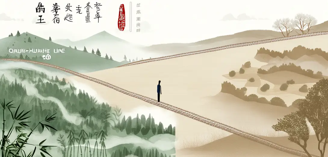
The Qinling-Huaihe Line: China’s Invisible Boundary of Climate, Culture, and Cereal
秦岭—淮河线:气候、文化与主粮的隐形分界
-
This east-west geomorphological seam separates China’s humid south from its semi-arid north with remarkable consistency.这条东西向的地貌分界线, remarkably 一致地将中国湿润的南方与半干旱的北方分隔开来。
-
Winter temperatures rarely drop below freezing south of the line, enabling double-crop rice cultivation year after year.冬季气温在线以南极少低于冰点,使水稻一年两熟成为可能。
-
North of it, wheat and millet dominate diets, while soy sauce, fermented tofu, and pickled vegetables define southern palates.线以北,主食以小麦和小米为主;线以南,酱油、腐乳和腌菜则塑造了人们的味觉偏好。
-
Architectural adaptations reflect this divide: heated kang beds in northern homes versus open courtyards and tiled roofs in the south.建筑适应也体现这一分野:北方住宅设火炕取暖,南方则多为敞亮庭院与青瓦屋顶。
-
Even dialect distribution and historical migration patterns align closely with this topographic threshold across millennia.就连方言分布与历史人口迁徙模式,数千年来也与此地形界线高度吻合。
-
Modern infrastructure planning—from heating networks to irrigation subsidies—still references the line as a policy benchmark.现代基础设施规划——从供暖系统到灌溉补贴——仍以该线为政策基准。
-
Yet urbanization and climate change are blurring its ecological sharpness, challenging long-held regional assumptions.然而城市化与气候变化正削弱其生态边界清晰度,挑战着根深蒂固的区域认知。
-
School textbooks present it as fact, but field researchers increasingly treat it as a gradient rather than a border.教科书将其视为定论,但田野研究者日益视其为渐变带,而非刚性分界。
-
Local farmers near Xinyang observe earlier plum blossoms and delayed winter dormancy in tea bushes along the transition zone.信阳周边农户观察到过渡带茶树梅花初绽提前、冬季休眠推迟。
-
Hydrological models now incorporate micro-variations within the belt, acknowledging its role as a dynamic ecotone.水文模型如今纳入该带内部微尺度变异,承认其作为动态生态交错带的角色。
-
Cultural festivals like Dragon Boat Racing remain concentrated southward, reinforcing identity through shared hydrological memory.龙舟竞渡等文化节日仍集中于南方,借共有的水文记忆强化地域认同。
-
Policy documents on food security still cite the line when allocating grain reserve quotas across provincial lines.粮食安全政策文件在跨省分配储备配额时,仍援引此线作为依据。