地理漫步·世界地理英语精读30篇(4)
17 / 30
正在确认阅读权限…
Geography and Environmental Continuity: Andean Quechua Weaving as Territorial Memory Archive (Batch 0001-031)
地理与环境连续性:安第斯克丘亚编织作为领土记忆档案
-
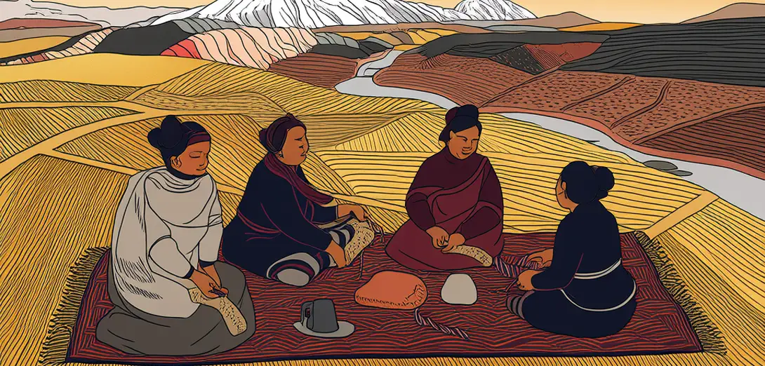
Quechua weavers in Peru’s Sacred Valley encode glacial retreat rates, maize variety distributions, and seasonal river flow variations into textile motifs passed down through matrilineal apprenticeship.秘鲁圣谷的克丘亚织工通过母系师徒传承,将冰川退缩速率、玉米品种分布及季节性河流流量变化编入纺织图案。
-
Each geometric pattern corresponds to a specific watershed—its color palette derived from locally foraged lichens whose pigments shift with soil pH and rainfall acidity.每个几何图案对应特定流域,其色彩取自当地采集的地衣,而地衣色素随土壤pH值和降雨酸度变化。
-
A single poncho may map three altitudinal zones: red threads for puna grasslands, indigo for cloud forest streams, yellow for maize-growing valleys—all calibrated to current climate anomalies.一件披肩可描绘三个海拔带:红色线代表普纳草原,靛蓝色代表云雾林溪流,黄色代表玉米种植谷地——所有配色均依据当前气候异常校准。
-
When frost dates shift, elders modify warp tension to compress or expand motif sequences, creating visual chronologies of agrarian adaptation.霜期变动时,长者通过调整经线张力压缩或延展图案序列,形成农耕适应的视觉时间轴。
-
Museums display these textiles as art; communities treat them as land registries—disputes over pasture access are settled by comparing warp counts in contested families’ pieces.博物馆将这些纺织品视为艺术品展出;社区则视其为土地登记册——牧场使用权争议常通过比对涉事家族织物的经线数量解决。
-
UNESCO documentation now requires weavers’ annotations alongside fiber analysis, recognizing that chemical dating of wool is meaningless without contextualizing its narrative timeline.联合国教科文组织现要求在纤维分析之外,必须附上织工注释,因若脱离叙事时间线,羊毛化学测年便毫无意义。
-
Tourist demand for ‘authentic’ patterns has triggered ethical protocols: buyers must attend workshops where weavers explain how a zigzag motif represents both lightning and recent landslides on Cerro Tuctu.游客对‘原真’图案的需求催生了伦理规范:买家须参加工作坊,由织工讲解锯齿纹如何同时象征闪电与塞罗图克图山近期发生的山体滑坡。
-
This is geography made tactile—where spatial relationships are learned through finger movement, not cartographic projection.这是可触摸的地理学——空间关系通过手指动作习得,而非地图投影。
-
Satellite imagery confirms that villages maintaining strongest weaving traditions also show highest native seed diversity and soil carbon retention.卫星影像证实:织造传统保存最完整的村落,其本土种子多样性与土壤碳储量亦最高。
-
Weaving cooperatives now partner with hydrologists to translate dye-plants’ phenological shifts into bilingual watershed reports for regional planning councils.织造合作社如今与水文学家合作,将染料植物物候变化转化为双语流域报告,供区域规划委员会使用。
-
Continuity here isn’t preservation—it’s iterative revision, where every new thread negotiates between ancestral precedent and present environmental rupture.此处的延续并非静态保存,而是迭代修订——每一根新线都在祖先范式与当下环境断裂间协商平衡。
-
The loom becomes a geographic instrument: measuring time through yarn, space through tension, and resilience through collective re-weaving.织机成为地理仪器:以纱线丈量时间,以张力界定空间,以集体重织彰显韧性。