地理漫步·世界地理英语精读30篇(4)
19 / 30
正在确认阅读权限…
Geography and Environmental Scripting: Ritual Grounds as Algorithmic Terrain in Oaxacan Guelaguetza (Batch 0001-016)
地理与环境脚本化:瓦哈卡瓜拉圭查节庆场地作为算法化地形
-
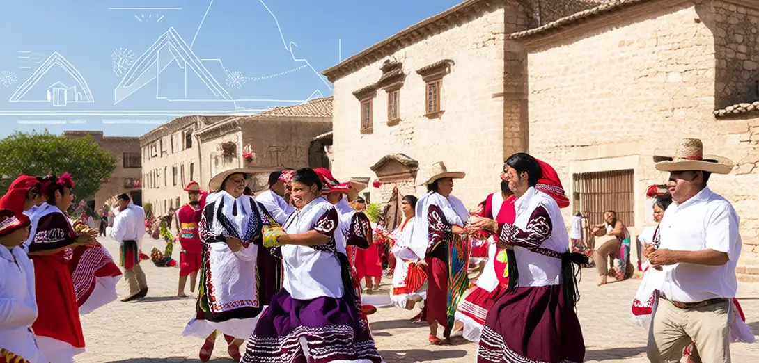
The Guelaguetza festival in Oaxaca transforms public plazas into layered scriptural spaces where dance, gift exchange, and land tenure histories co-encode territorial claims.瓦哈卡的瓜拉古埃察节将公共广场转化为多层次的文本空间,舞蹈、礼物交换与土地权属历史共同编码着领土主张。
-
Indigenous Zapotec and Mixtec communities choreograph movement not as performance but as embodied cartographic syntax across sloped urban terraces.当地萨波特克和米斯特克原住民社区并非将动作视为表演,而是将其编排为斜坡式城市梯田上的具身化制图语法。
-
Each regional delegation’s entrance sequence maps ancestral watersheds through costume geometry, textile motifs, and rhythmic pacing calibrated to local microclimates.每个地区代表团的入场序列通过服饰结构、纺织图案及契合当地微气候的节奏韵律,映射祖先流域。
-
Spectator positioning is never neutral: elevated balconies replicate colonial vantage points, while ground-level clusters enact pre-Hispanic spatial reciprocity.观众站位绝非中立:高处阳台复现殖民视角,地面聚集则践行前西班牙时代的空间互惠关系。
-
Food offerings at ceremonial altars are georeferenced—maize varieties correspond precisely to elevation bands from Sierra Norte to Pacific lowlands.仪式祭坛上的食物供品具有地理定位功能——不同玉米品种精准对应从北 Sierra 山脉到太平洋低地的海拔带。
-
Sound propagation is acoustically tuned to canyon topography, making drum resonance a functional proxy for watershed connectivity assessment.声音传播经声学调校以适配峡谷地形,鼓声共鸣由此成为流域连通性评估的功能性指标。
-
Digital mapping initiatives now layer historical land deeds onto live drone footage, revealing how ritual pathways reassert jurisdictional continuity.数字测绘项目如今将历史地契叠加于实时无人机影像之上,揭示仪式路径如何重申司法管辖的连续性。
-
Urban planners increasingly consult Guelaguetza spatial protocols when redesigning flood-resilient public infrastructure in mountainous municipalities.城市规划者在重新设计山区市镇抗洪公共基础设施时,日益参考瓜拉古埃察的空间规范。
-
This is not cultural preservation but environmental scripting: tradition functions as adaptive code for climate-vulnerable terrain.这并非文化保存,而是环境脚本编写:传统在此作为适应气候脆弱地形的可变代码运行。
-
The festival’s biannual timing aligns with monsoon onset thresholds, embedding hydrological forecasting within communal memory systems.节日两年一度的举办时间与季风起始阈值同步,将水文预测嵌入集体记忆系统。
-
Even vendor stall placements follow geomantic logic, avoiding fault lines identified through generations of seismic observation and oral record.就连摊位布局也遵循风水逻辑,避开经世代地震观测与口述记录确认的断层线。
-
What appears as celebration operates as real-time landscape governance—a living interface between geology, hydrology, and social contract.表面是庆典,实则是实时景观治理——地质、水文与社会契约之间的一套活态交互界面。