地理漫步·世界地理英语30篇(3)
21 / 30
正在确认阅读权限…
The Loess Plateau: Pedogenic Architecture Shaped by Wind and Time
黄土高原:风与时间塑造的土壤建筑学
-
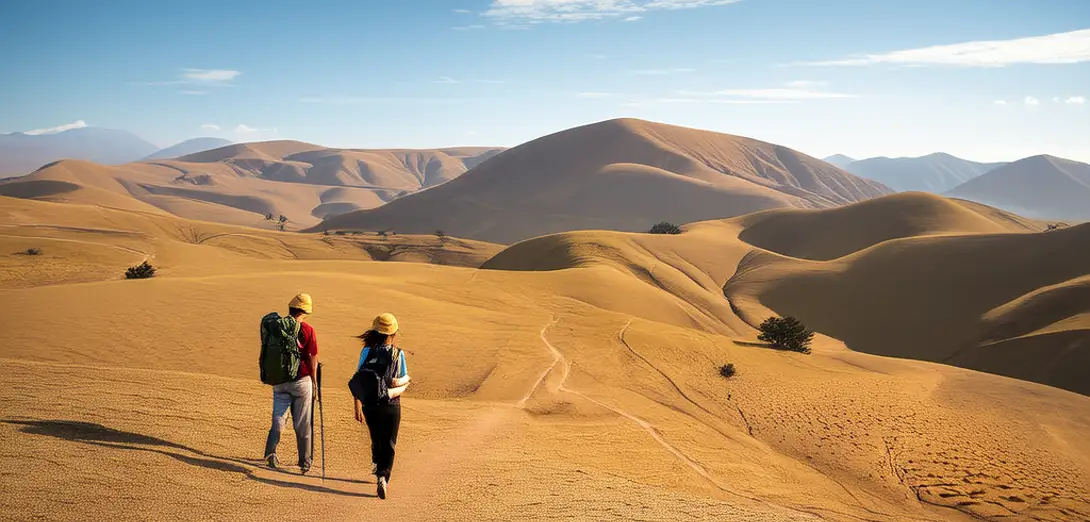
The Loess Plateau in north-central China holds over half the world’s loess deposits, some up to 300 meters thick.中国中北部的黄土高原拥有全球逾半数的黄土沉积,部分厚度达300米。
-
These fine, wind-blown silt layers accumulated over two million years, primarily from Central Asian deserts during glacial periods.这些细腻的风成粉砂层历经两百多万年累积而成,主要源自冰期时的中亚沙漠。
-
Steep gullies and terraced hills reflect both natural erosion and millennia of human land management decisions.陡峭沟壑与梯田式山丘,既反映自然侵蚀,也体现数千年来人类的土地管理决策。
-
Loess is unusually vertical-standing when dry, enabling cave dwellings—but collapses easily when saturated by monsoon rains.黄土干燥时直立性极强,可开凿窑洞;但遇季风降雨浸润则极易坍塌。
-
Modern ecological restoration uses check dams and vegetation belts aligned along contour lines to slow runoff velocity.现代生态修复采用沿等高线布设的淤地坝和植被带,以减缓地表径流速度。
-
Soil moisture retention varies dramatically with slope aspect, affecting millet and apple cultivation patterns across micro-regions.土壤水分保持能力随坡向差异显著,影响小米与苹果在不同微区域的种植格局。
-
Paleosols embedded within loess sequences preserve climate signals, revealing past monsoon strength and dust storm frequency.黄土剖面中嵌套的古土壤保存了气候信号,揭示了过去季风强度与沙尘暴频次。
-
Urban expansion and coal mining now compete with conservation zones for space on this fragile, highly erodible surface.城市扩张与煤炭开采正与保护区域争夺这片脆弱且极易侵蚀的地表空间。
-
Remote sensing helps map gully head migration rates, which accelerate near roads and abandoned farmland.遥感技术有助于测绘沟头迁移速率,其在道路及撂荒农田附近明显加快。
-
Unlike volcanic or alluvial soils, loess landscapes evolve through air-sediment interaction rather than water or lava transport.与火山土或冲积土不同,黄土地貌通过空气—沉积物相互作用演化,而非水力或岩浆搬运。