正在确认阅读权限…
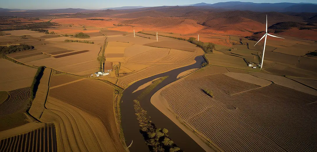
The Murray-Darling Basin: Australia’s Food Bowl Under Stress
墨累-达令盆地:压力下的澳大利亚粮仓
-
Australia’s largest river system drains one-seventh of the continent yet supports 40% of its agricultural output.澳大利亚最大的河流系统流域面积占全洲七分之一,却支撑着全国40%的农业产出。
-
Overallocation of water licenses led to unsustainable extractions, especially during multi-year droughts.水权许可过度发放导致取水不可持续,尤其在持续数年的干旱期间。
-
Native river red gums depend on periodic flooding—now disrupted by upstream dams and weirs.本土河岸红桉依赖周期性洪水——但上游水坝和堰已扰乱这一自然过程。
-
Salinity rose sharply as irrigation drew groundwater, bringing dissolved salts to the surface.灌溉大量抽取地下水,使溶解盐分上升至地表,导致盐碱化急剧加剧。
-
The Murray-Darling Basin Plan sets binding limits on water use and funds environmental water buys.《墨累-达令盆地计划》设定了具有法律约束力的用水上限,并资助生态用水购买。
-
Aboriginal groups co-manage cultural flows—water allocations honoring spiritual and ecological needs.原住民团体共同管理文化水流——即兼顾精神与生态需求的水资源分配。
-
Farmers adopt laser-guided leveling and soil moisture sensors to optimize irrigation timing.农民采用激光平地技术和土壤湿度传感器,优化灌溉时机。
-
River red gum forests provide nesting hollows for endangered glossy black cockatoos.河岸红桉林为濒危的亮黑凤头鹦鹉提供筑巢树洞。
-
Climate projections show winter rainfall declining 15% by 2050, intensifying summer evaporation.气候预测显示,到2050年冬季降雨量将减少15%,加剧夏季蒸发。
-
Citizen scientists monitor frog calls and waterbird counts to track wetland recovery progress.公民科学家通过监测蛙鸣与水鸟数量,追踪湿地恢复进展。