地理漫步·世界地理英语30篇(4)
16 / 30
正在确认阅读权限…
The Carpathians: A Curving Mountain Arc Defining Central Europe’s Watersheds
喀尔巴阡山脉:勾勒中欧分水岭的弧形山系
-
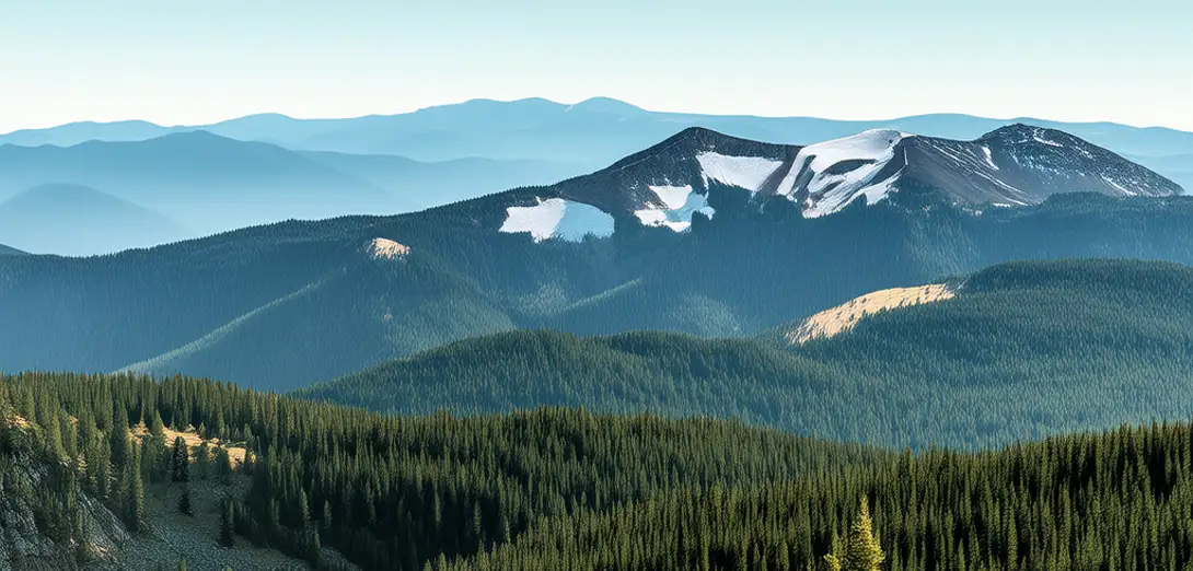
The Carpathians form an arc-shaped range stretching across seven countries from Czechia to Romania.喀尔巴阡山脉呈弧形延伸,横跨从捷克到罗马尼亚的七个国家。
-
They separate the North European Plain from the Pannonian Basin, directing river flow into the Danube and Vistula systems.它们将北欧平原与潘诺尼亚盆地分隔开来,引导河流汇入多瑙河和维斯瓦河两大水系。
-
Older than the Alps, these mountains consist mainly of folded sedimentary rocks uplifted by continental collision.这些山脉比阿尔卑斯山更古老,主要由大陆碰撞抬升形成的褶皱沉积岩构成。
-
Forests cover over 50% of the range, with beech and fir dominating altitudinal zones shaped by precipitation gradients.森林覆盖该山脉逾50%,山毛榉与冷杉占据不同海拔带,其分布受降水梯度影响。
-
Glaciers disappeared here thousands of years ago, but cirques and U-shaped valleys still record their former presence.冰川数千年前便已消失,但冰斗与U形谷仍清晰记录着它们曾经的存在。
-
Carpathian brown bears roam across transboundary habitats, requiring coordinated conservation policies among nations.喀尔巴阡棕熊在跨国界栖息地自由活动,亟需各国协同制定保护政策。
-
Coal and metal deposits fueled industrial development in Silesia and Transylvania, leaving legacy pollution in headwater streams.煤炭与金属矿藏曾推动西里西亚和特兰西瓦尼亚的工业发展,却在源头溪流留下污染遗患。
-
Seasonal snowmelt feeds springs that sustain lowland agriculture far beyond the mountain front.季节性融雪补给泉水,滋养远至山前平原的低地农业。
-
Landslides increase where deforestation and road construction destabilize steep forested slopes.毁林与道路建设削弱陡峭林坡稳定性,导致滑坡频发。
-
Protected areas like the Tatra National Park balance tourism access with ecosystem integrity across elevation bands.塔特拉国家公园等保护区在各海拔带统筹旅游开放与生态系统完整性。