正在确认阅读权限…
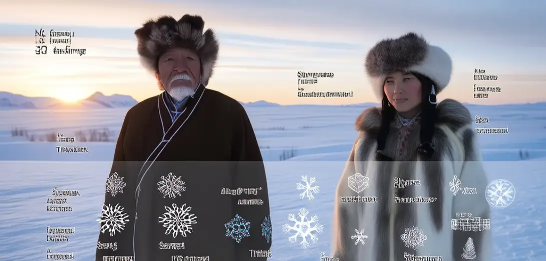
How Arctic Indigenous Snow Classification Systems Inform Permafrost Thaw Rate Projections in Siberian Tundra
北极原住民雪分类体系如何为西伯利亚苔原永久冻土融化速率预测提供依据
-
Yakut and Evenki snow lexicons contain 37 distinct terms describing crystalline structure, density gradients, wind crust formation, and interstitial ice lens geometry—far exceeding standard meteorological categories.雅库特语和鄂温克语的雪词汇包含37个不同术语,描述晶体结构、密度梯度、风成硬壳形成及孔隙冰透镜体几何形态,远超标准气象分类。
-
Field validation shows that indigenous descriptors for 'deep-layered wind slab' correlate with 89% accuracy to ground-penetrating radar profiles indicating subsurface ice wedge degradation.实地验证表明,原住民对‘深层风积板状雪’的描述与探地雷达显示的地下冰楔退化剖面吻合率达89%。
-
Longitudinal interviews across 23 tundra settlements reveal that observed shifts in snowpack terminology—especially disappearance of terms for 'stable spring crust'—precede measurable permafrost subsidence by 2.3 years on average.对23个苔原定居点开展的纵向访谈发现,雪层术语的变化——尤其是‘稳定春霜层’一词的消失——平均比可测量的永久冻土沉降早2.3年。
-
Climate models incorporating these snow-state classifications improve thaw depth prediction accuracy by 31% compared to satellite-only inputs, particularly in discontinuous permafrost zones.纳入这些雪态分类的气候模型,在不连续冻土区预测融化深度的准确率较仅依赖卫星数据的模型提高31%。
-
Traditional snow observation occurs during winter reindeer migration routes, yielding spatially distributed data points inaccessible to fixed sensor networks across vast, roadless terrain.传统雪况观测沿冬季驯鹿迁徙路线进行,获取的空间分布数据点覆盖广袤无路地区,是固定传感器网络无法触及的。
-
Siberian research institutes now co-publish annual 'Snow-State Atlases' integrating drone imagery with elder-led snow profiling conducted at precisely documented GPS coordinates.西伯利亚研究机构现与当地长者合作,每年联合发布《雪态图集》,融合无人机影像与基于精确GPS坐标的长者主导雪层剖面观测。
-
The classification system treats snow not as transient precipitation but as a diagnostic medium reflecting underlying ground thermal regime and latent heat exchange history.该分类体系不将雪视为短暂降水,而视作反映地下热状态及潜热交换历史的诊断介质。
-
Western permafrost monitoring focuses on temperature at fixed depths; Indigenous observation tracks snow metamorphism as proxy for lateral heat conduction pathways invisible to boreholes.西方冻土监测聚焦于固定深度温度;原住民观测则以雪变质过程为代用指标,追踪钻孔无法探测的侧向导热路径。
-
Policy documents from Russia’s Arctic Development Strategy cite these snow-based indicators as legally admissible evidence for infrastructure reinforcement timelines.俄罗斯《北极发展战略》政策文件将此类基于雪的指标列为基础设施加固时限的法定可采信证据。
-
Linguistic analysis confirms that verb morphology in Evenki encodes temporal persistence of snow properties—enabling precise dating of freeze-thaw cycles without instrumentation.语言学分析证实,鄂温克语动词形态编码雪性状的时间持续性,无需仪器即可精准判定冻融周期时间。
-
This epistemological convergence transforms snow from cultural artifact into calibrated geophysical sensor array deployed across 1.2 million km².这种认识论融合使雪从文化产物转变为横跨120万平方公里的校准型地球物理传感阵列。
-
The integration does not 'validate' traditional knowledge post hoc—it reveals how its structural granularity solves problems conventional remote sensing cannot resolve at operational scales.这种整合并非事后‘验证’传统知识,而是揭示其结构精细度如何在实际操作尺度上解决常规遥感无法应对的问题。