正在确认阅读权限…
Subsurface Geography: How Aquifers and Fault Lines Shape Surface Life
地下地理:含水层与断层线如何塑造地表生命
-
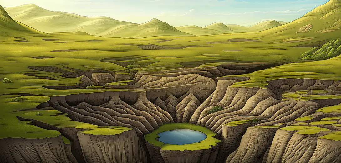
Karst aquifers dissolve limestone over millennia, creating sinkholes that define surface topography.喀斯特含水层历经数千年溶解石灰岩,形成塑造地表地貌的塌陷坑。
-
Fault lines control where springs emerge, guiding ancient settlement patterns across dry regions.断层线控制着泉水出露位置,引导古代人类在干旱地区沿特定模式定居。
-
Groundwater depth determines root depth in plants, shaping vegetation belts on hillslopes.地下水埋深决定植物根系深度,从而塑造山坡上的植被带。
-
Tectonic uplift along faults raises ancient seabeds, exposing mineral-rich soils for farming.断层沿线的构造抬升将古老海床抬高,暴露出富含矿物质的土壤供农耕使用。
-
Aquifer recharge zones lie above permeable rock layers, making them vulnerable to surface contamination.含水层补给区位于透水岩层上方,因而易受地表污染影响。
-
Saltwater intrusion occurs where coastal pumping lowers freshwater pressure below sea level.沿海地区过度抽水导致淡水压力降至海平面以下,引发海水入侵。
-
Geothermal vents along rift zones support unique ecosystems independent of sunlight.裂谷带沿线的地热喷口支撑着不依赖阳光的独特生态系统。
-
Clay layers trap water vertically, causing perched aquifers that feed isolated mountain streams.黏土层垂直阻隔水分,形成悬托含水层,为孤立的山间溪流提供水源。
-
Seismic risk maps overlay fault geometry with urban infrastructure to assess spatial vulnerability.地震风险图将断层几何结构与城市基础设施叠加,评估空间脆弱性。
-
Subsurface structures invisibly govern water access, soil fertility, and even earthquake resilience.地下构造虽不可见,却无形中支配着水资源获取、土壤肥力乃至抗震能力。