正在确认阅读权限…
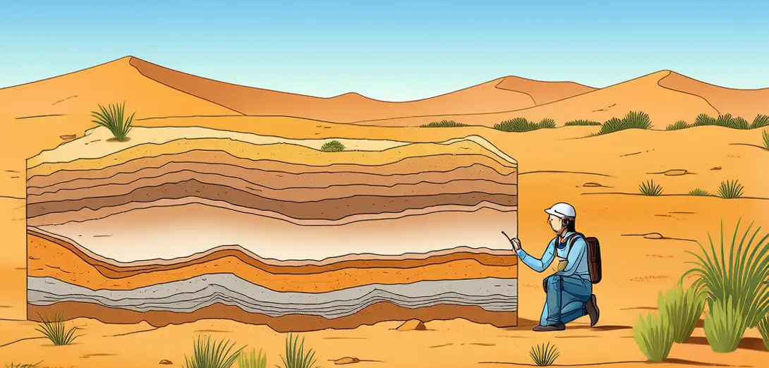
Batch-0022-043: Hydrological Memory in Arid Basin Sediments
批次0022-043:干旱盆地沉积物中的水文记忆
-
Ancient lakebeds in the Taklamakan hold layered silts that record millennia of monsoon variability.塔克拉玛干沙漠的古湖床沉积着层层粉砂,记录了数千年来季风的变化。
-
Each sediment stratum preserves isotopic signatures revealing past recharge sources and evaporation rates.每层沉积物都保存着同位素特征,揭示过去的补给来源与蒸发速率。
-
Ground-penetrating radar detects buried paleo-channels beneath modern dunes without disturbing surface ecology.探地雷达可无损探测现代沙丘下埋藏的古河道,不破坏地表生态。
-
Clay mineral composition in basin fill indicates whether water once arrived from distant mountain snowmelt.盆地充填物中的黏土矿物组成,可判断水源是否曾来自远方山地融雪。
-
Radiocarbon-dated ostracod shells prove intermittent wet phases occurred even during regional aridification.经放射性碳测年的介形虫壳证明,即便在区域干旱化期间,也曾出现间歇性湿润期。
-
Sediment porosity maps help predict where subsurface water may still linger beneath hyper-arid surfaces.沉积物孔隙度图有助于预测超干旱地表下地下水可能残留的位置。
-
Wind-scoured exposures reveal abrupt stratigraphic shifts marking sudden hydrological regime changes.风蚀裸露剖面揭示出突变的地层界面,标志水文格局的骤然转变。
-
Geochemical tracers in gypsum layers distinguish between flood-driven and groundwater-fed deposition events.石膏层中的地球化学示踪剂可区分洪水驱动与地下水补给形成的沉积事件。
-
Paleohydrological models use these archives to simulate aquifer resilience under future climate scenarios.古水文模型利用这些档案模拟含水层在未来气候情景下的恢复力。
-
This buried memory transforms dry basins into dynamic archives of Earth’s hydrological past.这段深埋的记忆,将干涸盆地转化为地球水文历史的动态档案。