正在确认阅读权限…
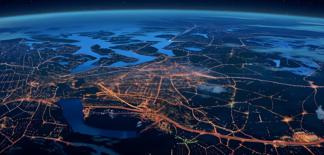
Batch-0022-010: Urban Thermal Archipelagos and Nighttime Cooling Corridors
城市热群岛与夜间降温廊道
-
Cities form thermal archipelagos—hot islands surrounded by cooler rural seas—visible in nighttime satellite thermal imagery.城市形成热力群岛——被较凉爽的乡村‘海洋’包围的热岛,在夜间卫星热成像图中清晰可见。
-
Within cities, parks and river corridors act as cooling corridors where temperatures drop 4–6°C after sunset.城市内部,公园和河流廊道充当降温通道,日落后温度可下降4–6°C。
-
Building height and street orientation determine whether canyon effects trap heat or channel nocturnal breezes.建筑高度与街道朝向决定峡谷效应是积聚热量还是引导夜间微风。
-
Thermal inertia differences between asphalt (slow-cooling) and irrigated lawns (rapid-cooling) drive local air circulation.沥青(降温慢)与灌溉草坪(降温快)的热惯性差异驱动局地空气循环。
-
LiDAR-based 3D city models predict cooling corridor effectiveness better than 2D land-cover maps alone.基于激光雷达的三维城市模型比仅用二维土地覆盖图更能准确预测降温通道效果。
-
Areas with high tree canopy cover and permeable surfaces sustain longer dew-point durations, enhancing evaporative cooling.树冠覆盖率高、透水地表多的区域露点持续时间更长,增强蒸发冷却效果。
-
Nighttime radiative cooling is strongest where sky view factors exceed 0.7, unblocked by tall buildings.夜间辐射冷却在天空可视因子超过0.7(即不受高楼遮挡)的区域最强。
-
Urban planners now designate 'cooling priority zones' where green infrastructure yields maximum thermal relief.城市规划者如今划定‘优先降温区’,在这些区域建设绿色基础设施可获得最大热缓解效益。
-
These corridors also guide bat and moth movements, linking fragmented ecological functions across built landscapes.这些廊道还引导蝙蝠和飞蛾迁徙,将破碎化的生态功能连接起来。
-
Mapping thermal archipelagos reveals inequality: low-income districts often lack cooling corridors entirely.绘制热力群岛图揭示了不平等:低收入社区往往完全缺乏降温廊道。