正在确认阅读权限…
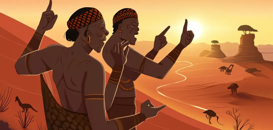
The Aboriginal Songlines Mapping Australia’s Interior
澳大利亚原住民歌之路径测绘内陆
-
Aboriginal elders sang detailed sequences describing landmarks, waterholes, and ancestral beings across thousands of kilometers of desert.原住民长老吟唱详尽的序列,描述横跨数千公里沙漠的地标、水塘和祖先神灵。
-
Each Songline functioned as oral GPS: syllables encoded distances, directions, and seasonal changes in flora and fauna.每条歌之路都充当口头GPS:音节编码了距离、方向以及动植物随季节的变化。
-
Young initiates walked these paths for months, memorizing verses while tracing footprints in red sand beside senior singers.年轻受训者徒步行走这些路径数月,在红沙地上追随资深歌者的足迹,同时背诵歌词。
-
Rock paintings at Uluru and Kakadu served as visual anchors where specific lines paused for ritual or storytelling.乌鲁鲁和卡卡杜的岩画是视觉锚点,特定歌之路在此暂停,用于仪式或讲述故事。
-
Colonial surveyors once dismissed these songs as myths, unaware they contained precise coordinates later verified by satellite mapping.殖民时期的测量员曾将这些歌谣斥为神话, unaware 它们包含精确坐标,后来经卫星测绘证实。
-
Songlines connected language groups who spoke different tongues but shared cosmology through melody and place-names.歌之路连接了使用不同语言却通过旋律与地名共享宇宙观的语言群体。
-
Women sang separate tracks focused on birth sites, plant medicines, and star alignments guiding nighttime travel.女性吟唱独立的歌之路,聚焦于出生地、药用植物及指引夜间行路的星象。
-
When cattle stations blocked traditional routes, elders adapted verses to include fences and trucks without losing sacred grammar.当牧场围栏阻断传统路线时,长老们在歌词中加入围栏和卡车,却不失神圣语法。
-
Today, land rights cases cite Songlines as legal evidence of continuous cultural occupation since the Dreaming.如今,土地权诉讼援引歌之路作为自‘梦幻时代’起持续文化占据的法律证据。
-
These sung maps remain living archives—neither static history nor mere folklore, but navigation through time itself.这些歌唱地图仍是活态档案——既非静止的历史,亦非单纯的民间传说,而是穿越时间的导航。