STEM与日常科技·英语30篇(1)
6 / 30
正在确认阅读权限…
How Remote Sensing Images Monitor Forests
遥感影像如何监测森林
-
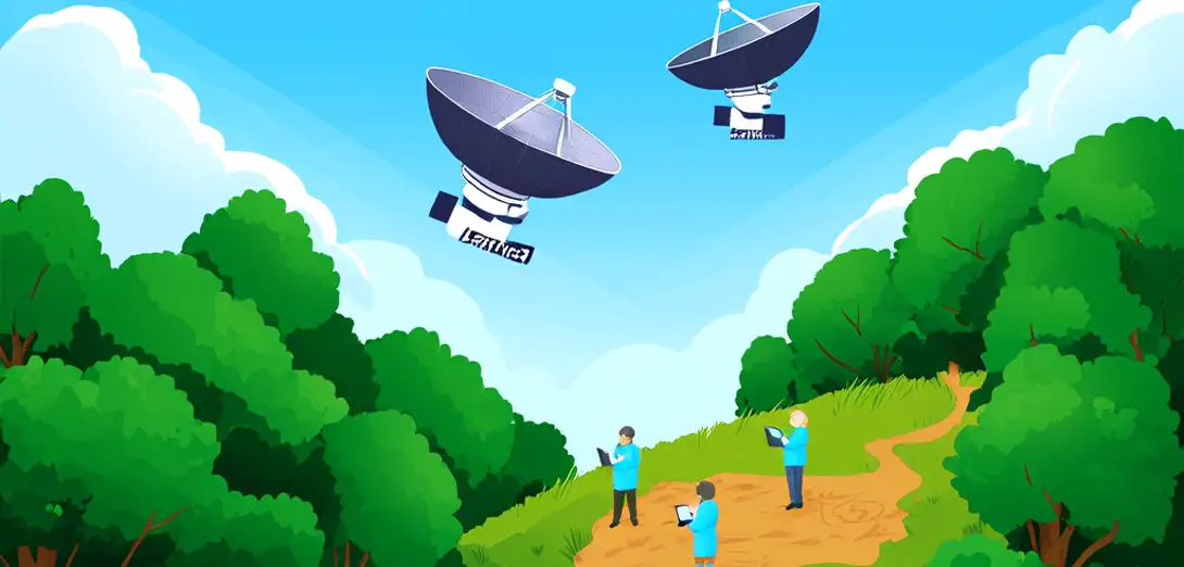
Satellites like Landsat and Sentinel capture light beyond visible wavelengths, including near-infrared and shortwave infrared bands.Landsat和Sentinel等卫星可捕捉可见光以外的光,包括近红外和短波红外波段。
-
Healthy tree leaves strongly reflect near-infrared light, making dense forests appear bright red in false-color composites.健康树叶强烈反射近红外光,因此在假彩色合成图像中,茂密森林呈现亮红色。
-
Burn scars, insect damage, or drought stress reduce this reflectance, showing up as duller or brownish patches over time.火烧迹地、虫害或干旱胁迫会降低这种反射率,随时间推移表现为暗淡或偏褐色的斑块。
-
By comparing images taken weeks or months apart, scientists calculate the Normalized Difference Vegetation Index (NDVI) to quantify greenness change.通过对比相隔数周或数月拍摄的影像,科学家计算归一化植被指数(NDVI),以量化植被绿度变化。
-
Radar satellites penetrate clouds and darkness, mapping forest structure and detecting illegal logging even in rainy seasons.雷达卫星可穿透云层和黑夜,测绘森林结构,并在雨季也能探测非法砍伐。
-
AI tools now identify deforestation hotspots automatically, alerting rangers before large-scale clearing spreads.人工智能工具如今能自动识别毁林热点,在大规模砍伐蔓延前向护林员发出警报。
-
Local communities also use smartphone apps linked to satellite feeds to report suspicious activity and verify land rights.当地社区也通过连接卫星数据的手机应用报告可疑活动并核实土地权益。
-
Long-term datasets reveal how climate shifts affect forest growth rates, species migration, and carbon sequestration capacity.长期数据集揭示了气候变化如何影响森林生长速度、物种迁徙及固碳能力。