地理漫步·世界地理英语精读30篇(2)
13 / 30
正在确认阅读权限…
Tibetan Wetland Epistemology: How Local Hydrological Knowledge Informs Basin Resilience
藏地湿地认知体系:本土水文知识如何塑造流域韧性
-
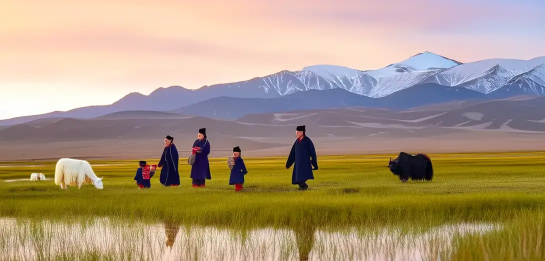
On the northeastern rim of the Qinghai-Tibet Plateau, herders’ seasonal movement patterns encode centuries of hydrological observation.在青藏高原东北缘,牧民的季节性迁徙模式蕴含着数百年来的水文观测经验。
-
Unlike satellite-derived models, their oral maps distinguish micro-wetland types by plant assemblages, soil moisture gradients, and avian nesting fidelity.与卫星推演模型不同,他们的口传地图依据植物群落、土壤湿度梯度和鸟类筑巢稳定性来区分微湿地类型。
-
This embodied knowledge directly informs rotational grazing schedules that prevent peat oxidation during dry-phase drawdown.这种具身知识直接指导轮牧安排,防止干旱期水位下降时泥炭氧化。
-
State-led conservation plans now integrate these spatial logics into groundwater recharge zoning for the Qilian Mountains headwaters.国家主导的保护规划现已将这类空间逻辑纳入祁连山源头区地下水补给分区。
-
What appears as cultural tradition functions, in practice, as adaptive hydro-institutional memory across climatic volatility.表面看是文化传统,实则是在气候剧烈波动中传承的适应性水文制度记忆。
-
Even minor shifts in spring thaw timing trigger cascading adjustments in pasture access rights and water-sharing protocols.即便春季解冻时间出现微小变化,也会引发牧场准入权和水资源分配规则的连锁调整。
-
Such systems resist formal codification—not due to lack of sophistication, but because their authority resides in contextual fluency, not universal rules.这类系统难以形式化编码,并非因其不够精密,而是其权威源于具体情境中的熟稔,而非普适规则。
-
Western restoration frameworks often misdiagnose degradation when they ignore how sediment transport is ritually managed through land-use taboos.西方生态修复框架常因忽视土地利用禁忌对泥沙输移的仪式化管理,而误判退化状况。
-
The real challenge lies not in 'translating' local knowledge, but in redesigning governance interfaces that honor its epistemic sovereignty.真正挑战不在于‘翻译’地方知识,而在于重构治理体系接口,尊重其认识论主权。
-
When drought intensifies, these wetland-based negotiations become critical infrastructure—more reliable than many engineered alternatives.干旱加剧时,依托湿地展开的协商机制便成为关键基础设施,比许多工程方案更可靠。
-
Their logic emerges not from abstraction, but from sustained, intergenerational witness to hydrological thresholds and tipping points.其逻辑并非来自抽象推理,而是源于代际延续的持续观察,直面水文阈值与临界点。
-
This is geography practiced as relational accountability—not just mapping space, but stewarding time-bound reciprocity.这是一种践行关系性责任的地理学——不仅测绘空间,更守护有时限的互惠关系。