正在确认阅读权限…
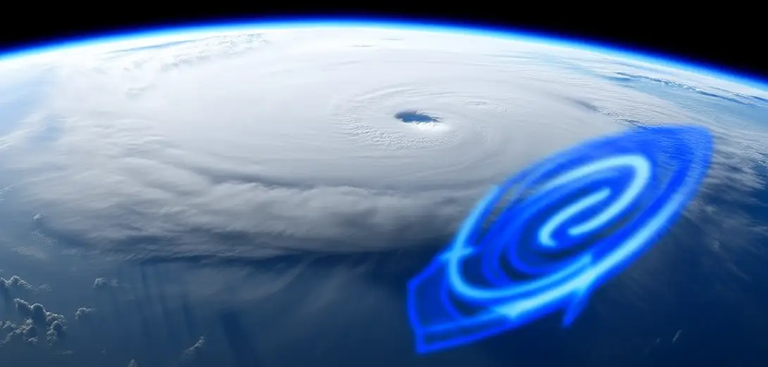
Why Do Hurricanes Spin Counterclockwise in the Northern Hemisphere?
为什么北半球的飓风呈逆时针旋转?
精读先不看文字,完整听一遍。
-
Hurricanes spin due to the Coriolis effect — a deflection caused by Earth’s rotation beneath moving air.飓风因科里奥利效应而旋转——这是地球自转导致移动空气发生偏转所致。
-
In the Northern Hemisphere, winds flowing toward a low-pressure center curve right, creating counterclockwise rotation.在北半球,流向低压中心的气流向右偏转,形成逆时针旋转。
-
The opposite happens south of the equator, where storms spin clockwise due to leftward deflection.赤道以南则相反,风暴因向左偏转而顺时针旋转。
-
Near the equator, the Coriolis force is too weak to organize storms, so hurricanes rarely form within 5° latitude.赤道附近科里奥利力太弱,无法组织起风暴,因此飓风极少在纬度5°范围内生成。
-
Warm ocean water fuels the storm by evaporating and rising, releasing latent heat as it condenses.温暖的海水通过蒸发上升并凝结释放潜热,为风暴提供能量。
-
This heat powers convection, lowering central pressure and pulling in more moist air at the surface.该热量驱动对流,降低中心气压,并从地表吸入更多潮湿空气。
-
Wind shear — changes in wind speed or direction with height — can tear storms apart or weaken them.风切变——即风速或风向随高度变化——可能撕裂或削弱风暴。
-
Satellites track cloud motion and sea-surface temperatures to predict hurricane paths and intensities.卫星通过追踪云层运动和海表温度来预测飓风路径与强度。
-
Understanding rotation helps forecast landfall zones and prepares coastal communities for extreme weather.理解旋转机制有助于预判登陆区域,帮助沿海社区应对极端天气。
-
It also reminds us how planetary motion shapes local weather, linking Earth’s spin to human safety.它也提醒我们,行星运动塑造局地天气,将地球自转与人类安全紧密相连。
精读 · 大约 10 分钟
听 → 读 → 学表达 → 懂 → 今天会说这一句 → 跟读录音 → 自己说一句。
③ 学 · 重点表达
- Satellites track cloud motion and sea-surface temperatures to predict hurricane paths and intensities. 卫星通过追踪云层运动和海表温度来预测飓风路径与强度。
- Understanding rotation helps forecast landfall zones and prepares coastal communities for extreme weather. 理解旋转机制有助于预判登陆区域,帮助沿海社区应对极端天气。
- In the Northern Hemisphere, winds flowing toward a low-pressure center curve right, creating counterclockwise rotation. 在北半球,流向低压中心的气流向右偏转,形成逆时针旋转。
④ 懂 · 选一选
⑤ 今天会说这一句
Satellites track cloud motion and sea-surface temperatures to predict hurricane paths and intensities.
⑥ 跟读并录音
Satellites track cloud motion and sea-surface temperatures to predict hurricane paths and intensities.
第一版:录下来、回听、再听标准音。系统打分以后再加。
⑦ 说 · 自己来一句
用今天的表达,自己说一句。
例子:Satellites track cloud motion and sea-surface temperatures to predict hurricane paths and intensities.
已记下。连续天数以后会显示在课表里。
陈老师指导
课程开发中,敬请期待。成人和孩子都可以先自学听读、精读。
这边的讲解音轨还在做。想先跟着老师走完固定 30 课,可以去陈老师带读社(和自学通行不是同一份会员)。
课程开发中,敬请期待。