正在确认阅读权限…
Patagonia’s Glaciers: Ice That Tells Time
巴塔哥尼亚冰川:讲述时间的冰
-
The Southern Patagonian Ice Field contains the largest non-polar ice mass in the Southern Hemisphere—covering over 13,000 km².南巴塔哥尼亚冰原拥有南半球最大的非极地冰体,面积逾13,000平方公里。
-
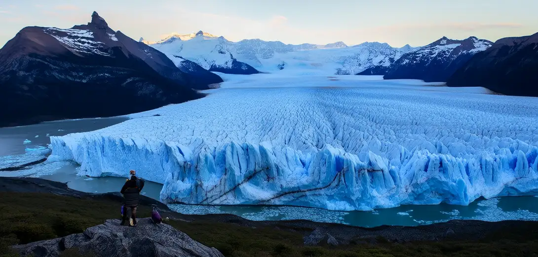
Glaciers like Perito Moreno advance and retreat visibly, offering rare real-time evidence of climate dynamics in remote regions.佩里托莫雷诺等冰川的进退肉眼可见,为偏远地区气候动态提供了罕见的实时证据。
-
Ice cores drilled here preserve air bubbles and volcanic ash layers dating back 10,000 years—key to reconstructing South American climate history.在此钻取的冰芯保存了可追溯至一万年前的空气气泡和火山灰层,是重建南美气候史的关键。
-
Sheep ranching once dominated the steppe, but ecotourism now drives local economies near El Calafate and Torres del Paine.昔日以养羊业为主导的草原地带,如今埃爾卡拉法特和托雷斯德尔潘恩周边地区经济主要依靠生态旅游。
-
Rivers fed by meltwater carve deep valleys and power hydroelectric plants that supply Argentina’s grid with renewable energy.冰川融水滋养的河流深切峡谷,并驱动水电站,为阿根廷电网提供可再生能源。
-
Conservationists work with Mapuche and Tehuelche descendants to protect sacred sites near glacier-fed lakes and rivers.保护工作者与马普切人和特维尔切人的后裔合作,共同守护冰川湖河附近的圣地。
-
Satellite data shows some glaciers thinned by up to 20 meters in depth between 2000 and 2020, accelerating sea-level rise.卫星数据显示,2000至2020年间部分冰川厚度最多减少了20米,加剧了海平面上升。
-
Local guides teach visitors how to read glacial striations and moraines—natural textbooks written in stone and ice.当地向导教游客解读冰川刻痕与冰碛——写在石头与冰上的天然教科书。