正在确认阅读权限…
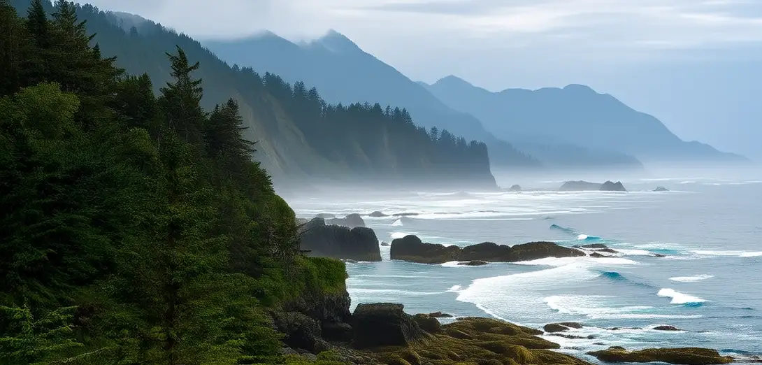
Vancouver Island: A Biogeographic Threshold Between Ocean and Rainforest
温哥华岛:海洋与雨林之间的生物地理过渡带
-
Vancouver Island lies off Canada’s Pacific coast, separated from mainland British Columbia by the Strait of Georgia.温哥华岛位于加拿大太平洋沿岸,与不列颠哥伦比亚省大陆之间隔着乔治亚海峡。
-
Its western shores face the open Pacific, absorbing moisture-laden westerlies that fuel temperate rainforests.岛屿西岸直面开阔的太平洋,吸收饱含水汽的西风,滋养着温带雨林。
-
The island’s mountain spine forces air upward, causing orographic rainfall exceeding 3,000 mm per year on the west coast.岛上山脉纵贯南北,迫使气流抬升,导致西海岸年降水量超过3000毫米,形成地形雨。
-
Eastward, rain shadows reduce annual precipitation to under 1,000 mm, supporting drier Garry oak ecosystems.向东则因雨影效应,年降水量降至1000毫米以下,支撑起较干燥的加里橡树林生态系统。
-
This sharp moisture gradient creates one of North America’s steepest biogeographic transitions over just 100 km.这一急剧的湿度梯度,在短短100公里内造就了北美最陡峭的生物地理过渡带之一。
-
Marine fog sustains epiphytic mosses and lichens even where rainfall diminishes seasonally.海雾即使在降水季节性减少的地区,也能维持附生苔藓和地衣的生长。
-
Glacial valleys carved deep fjords, while post-glacial rebound continues lifting coastal terraces at measurable rates.冰川谷地深切形成峡湾,而冰后期地壳回弹仍在以可测量的速度抬升沿海阶地。
-
Salmon migration corridors link marine nutrients to forest soils, illustrating cross-ecosystem material flow.鲑鱼洄游廊道将海洋养分输送到森林土壤,体现了跨生态系统的物质流动。
-
Indigenous land-use patterns historically mirrored these spatial gradients through seasonal resource harvesting.原住民传统的土地利用模式曾依循这些空间梯度,开展季节性资源采集。
-
Today, climate-driven shifts in storm tracks threaten to widen the rain shadow and compress coastal habitats.如今,气候驱动的风暴路径变化正威胁扩大雨影区,并压缩沿海栖息地。