地理漫步·世界地理英语30篇(3)
23 / 30
正在确认阅读权限…
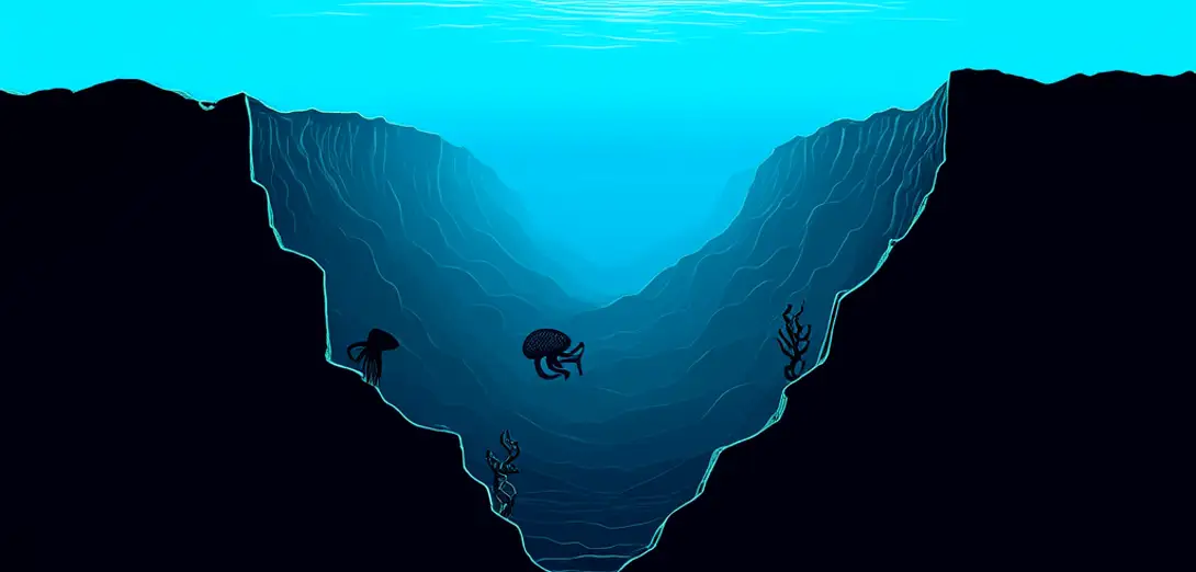
The Mariana Trench: Depth as a Dimension of Oceanic Geography
马里亚纳海沟:海洋地理中的深度维度
-
The Mariana Trench reaches 11,000 meters deep, making it Earth’s deepest known oceanic feature and a vertical frontier in marine geography.马里亚纳海沟深达11000米,是地球已知最深的海洋地貌,也是海洋地理学中的垂直前沿。
-
Its formation results from the Pacific Plate subducting beneath the smaller Mariana Plate at a steep angle over millions of years.其形成源于太平洋板块在数百万年间以陡峭角度俯冲到较小的马里亚纳板块之下。
-
Hydrostatic pressure there exceeds 1,000 atmospheres, compressing seawater density and limiting chemical diffusion rates.此处静水压力超过1000个大气压,压缩海水密度并限制化学扩散速率。
-
Cold, dense bottom waters sink along continental margins and travel slowly into the trench, carrying dissolved oxygen and nutrients.寒冷致密的底层海水沿大陆边缘下沉,缓慢流入海沟,携带溶解氧和营养物质。
-
Submersible mapping reveals seamounts, landslide scars, and fluid-venting chimneys distributed unevenly along its axis.载人潜水器测绘发现,海山、滑坡痕迹和流体喷口烟囱沿海沟轴线分布不均。
-
Biogeographers classify trench zones by depth-related light absence, pressure thresholds, and microbial metabolic adaptations—not latitude alone.生物地理学家依据深度相关的无光环境、压力阈值及微生物代谢适应性(而非仅纬度)对海沟分区。
-
Sediment layers at the Challenger Deep contain microfossils that record paleoceanographic shifts in deep-water circulation patterns.挑战者深渊的沉积层含有微化石,记录了深层环流模式的古海洋学变化。
-
Earthquake epicenters cluster along the inner trench wall, highlighting how slab geometry controls seismic energy release.地震震中沿内侧海沟壁密集分布,凸显板块几何形态对地震能量释放的控制作用。
-
Unlike surface currents, trench-scale flow is governed by thermohaline gradients and abyssal topography rather than wind.与表层洋流不同,海沟尺度的流动受温盐梯度和深渊地形主导,而非风力。
-
Studying this trench challenges the traditional horizontal bias of geographic education by centering verticality as a core spatial variable.研究这一海沟打破了地理教育中传统的水平空间偏向,将垂直性确立为核心空间变量。