正在确认阅读权限…
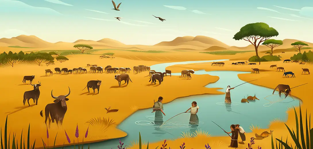
The Sahara: From Green Pastures to Golden Sand
撒哈拉:从青翠牧场到金色沙海
-
About 10,000 years ago, the Sahara was covered with grasslands, lakes, and rivers that supported cattle herding and fishing.约1万年前,撒哈拉地区遍布草原、湖泊与河流,支撑着畜牧和渔业。
-
This ‘Green Sahara’ period ended gradually as Earth’s orbital tilt shifted, reducing summer monsoon rains over North Africa.这一‘绿色撒哈拉’时期随着地球轨道倾角变化而逐渐结束,北非夏季季风降雨随之减少。
-
Rock art in Algeria’s Tassili n’Ajjer shows giraffes and crocodiles—species that vanished when the desert expanded.阿尔及利亚塔西利-纳杰尔的岩画描绘了长颈鹿和鳄鱼——这些物种在沙漠扩张后消失。
-
Today, fossil aquifers beneath the sand hold more water than the Nile River carries in fifty years.如今,沙层之下埋藏的化石含水层储水量超过尼罗河50年的径流量。
-
Solar farms in Morocco and Egypt now tap the region’s abundant sunlight, generating clean energy for growing coastal cities.摩洛哥和埃及的太阳能电站正利用该地区丰富的阳光,为不断扩张的沿海城市提供清洁能源。
-
Nomadic Tuareg communities maintain ancient trade routes across dunes, using star navigation and oral geography knowledge.游牧的图阿雷格人沿沙丘间的古老商路穿行,依靠星象导航与口传地理知识。
-
Dust storms from the Sahara travel across the Atlantic, fertilizing the Amazon rainforest with phosphorus-rich particles.撒哈拉扬起的沙尘暴横跨大西洋,将富含磷的颗粒输送至亚马孙雨林,为其提供养分。
-
Scientists drill lake sediments in Chad’s Bodélé Depression to reconstruct past climate shifts recorded in mineral layers.科学家在乍得博德莱洼地钻取湖相沉积物,通过矿物层重建过往气候变迁。