正在确认阅读权限…
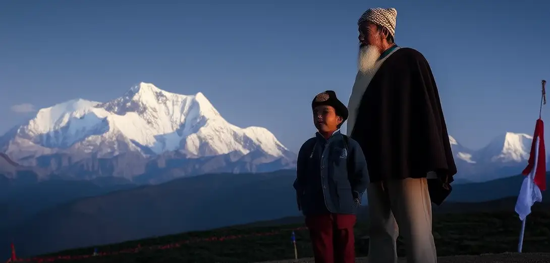
The Himalayas: Where Tectonics Meet Tradition
喜马拉雅山脉:构造运动与传统的交汇之地
-
The Himalayas formed 50 million years ago when the Indian Plate collided with Eurasia—and they’re still rising about 5 mm per year.喜马拉雅山脉形成于5000万年前印度板块与欧亚板块碰撞之时,至今仍以每年约5毫米的速度抬升。
-
Mount Everest grows taller each year, yet erosion from glaciers and monsoon rains constantly reshapes its slopes.珠穆朗玛峰每年都在长高,但冰川和季风雨的侵蚀又持续重塑其山坡。
-
Sherpa communities in Nepal have developed altitude-adapted genetics and traditional weather lore passed down orally for centuries.尼泊尔夏尔巴社群已演化出适应高海拔的基因,并世代口传天气经验知识。
-
Glaciers here feed ten major Asian rivers, including the Ganges, Indus, and Brahmaputra, sustaining over 1.5 billion people.这里的冰川滋养着恒河、印度河、布拉马普特拉河等十条亚洲主要河流,支撑着逾15亿人的生存。
-
Warmer temperatures are causing glacial lakes to expand rapidly, increasing landslide-dam burst risks downstream.气温升高正导致冰川湖迅速扩张,加剧下游山体滑坡引发的溃坝风险。
-
Buddhist monasteries often sit on stable bedrock above active faults, reflecting generations of observational site selection.佛教寺院常建于活动断层上方的稳定基岩上,体现数代人通过观察积累的选址智慧。
-
Hydropower projects in Bhutan export clean electricity to India, balancing economic needs with fragile mountain ecology.不丹的水电项目向印度出口清洁能源,在满足经济需求的同时兼顾脆弱的高山生态。
-
Scientists combine satellite imagery with local yak-herder reports to track snowline retreat in remote valleys.科学家将卫星影像与当地牧民关于牦牛放牧区的实地报告相结合,追踪偏远山谷雪线的退缩。