正在确认阅读权限…
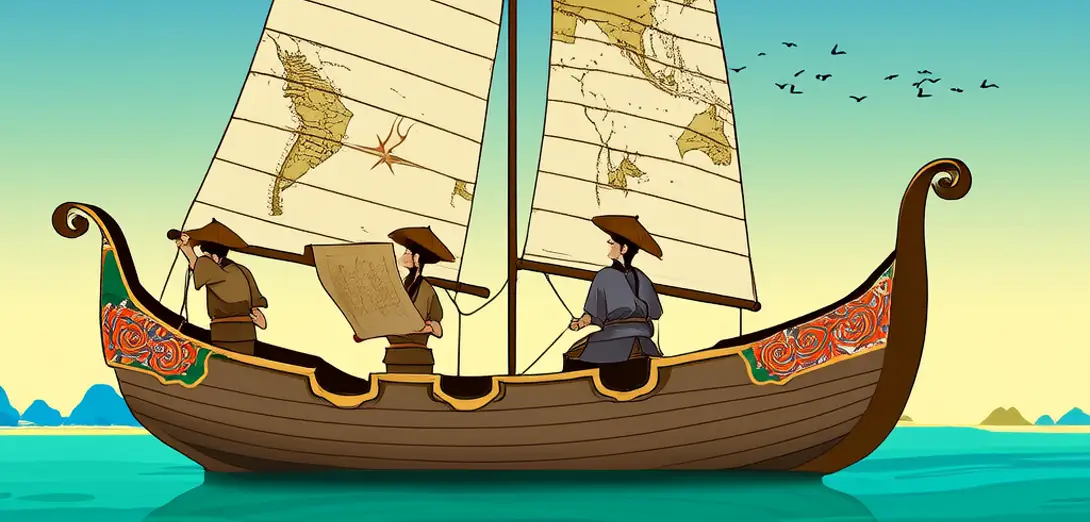
Navigators Used Maps in Song Dynasty China
宋代中国航海者使用地图
-
Chinese sailors sailed far into the South China Sea and Indian Ocean.中国水手远航至南海和印度洋。
-
They used detailed coastal maps drawn on silk and paper.他们使用绘制在丝绸和纸张上的详细海岸地图。
-
Compass needles guided ships when stars were hidden by clouds.当云层遮蔽星辰时,罗盘针为船只导航。
-
Maps showed ports, reefs, tides, and safe anchor points.地图标有港口、暗礁、潮汐和安全锚地。
-
Government offices collected sea knowledge to support trade and tribute.官府收集海洋知识以支持贸易与朝贡。
-
Mariners passed map skills through families and guilds for centuries.航海者数百年来通过家族和行会传承制图技艺。
-
These tools helped China connect with Southeast Asia and East Africa.这些工具助力中国与东南亚及东非建立联系。
-
Mapping strengthened both commerce and imperial reach overseas.测绘既促进了商贸,也拓展了帝国的海外影响力。