正在确认阅读权限…
How Urban Canopy Layers Influence Localized Precipitation Patterns
城市冠层结构如何影响局地降水模式
-
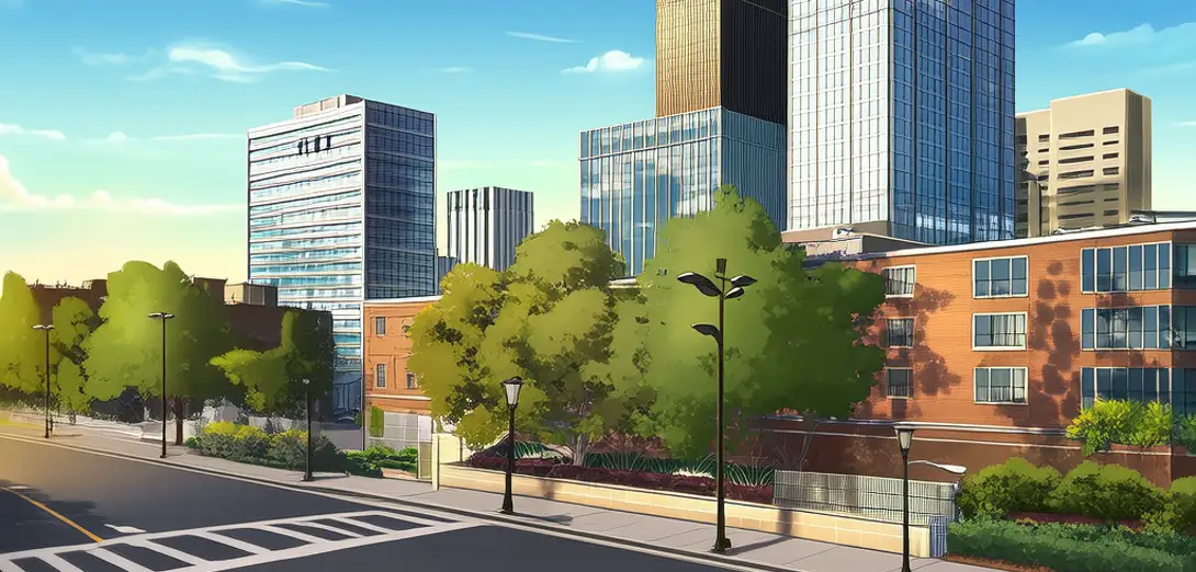
Urban canopy layers—comprising buildings, streets, and vegetation—alter turbulent kinetic energy, moisture flux, and thermal updrafts that seed convective rainfall.城市冠层(包括建筑、道路和植被)会改变湍流动能、水汽通量和热对流上升气流,从而影响对流性降雨的形成。
-
Tall building clusters generate mechanical turbulence that enhances cloud condensation nuclei concentration by resuspending particulate matter from pavement.高层建筑群产生的机械湍流可重新扬起路面颗粒物,提高云凝结核浓度。
-
Green roofs and street trees reduce sensible heat flux but increase latent heat release—moderating afternoon thunderstorm intensity while extending duration.屋顶绿化与行道树降低感热通量,但增加潜热释放,从而削弱午后雷暴强度,同时延长其持续时间。
-
Rainfall gauges in dense downtown zones record 5–12% higher totals than suburban stations at identical elevation, even after correcting for wind bias.即使校正风偏影响后,密集市中心雨量计测得的降水量仍比同海拔郊区站点高出5%–12%。
-
Urban-induced convergence zones often shift storm paths by 2–4 km, redirecting flood risk toward peri-urban infrastructure not designed for such loads.城市诱发的辐合区常使风暴路径偏移2–4公里,将洪涝风险转向未按此负荷设计的城乡结合部基础设施。
-
City planners now integrate canopy-layer meteorology into stormwater master plans, using CFD simulations validated against Doppler lidar measurements.城市规划者现将冠层气象学纳入雨水管理总体规划,采用经多普勒激光雷达观测验证的计算流体力学(CFD)模拟。
-
Historical rainfall records show declining diurnal amplitude in megacities—suggesting anthropogenic canopy effects suppress nocturnal precipitation minima.历史降水记录显示,超大城市日降水振幅呈下降趋势,表明人为冠层效应抑制了夜间降水低谷。
-
Cross-national studies reveal that cities with >30% tree canopy cover exhibit lower flash-flood frequency despite higher impervious surface ratios.跨国研究表明,树冠覆盖率超30%的城市,即便不透水地表比例更高,突发性洪水发生频率反而更低。
-
Insurance actuaries increasingly weight canopy-layer metrics alongside soil permeability when pricing commercial property flood risk.保险精算师在评估商业地产洪涝风险时,日益将冠层指标与土壤渗透率并重。
-
Thermal inertia differences between concrete and vegetated surfaces create mesoscale pressure gradients detectable up to 10 km downwind.混凝土与植被地表热惯性差异可在下风向10公里内产生可探测的中尺度气压梯度。
-
This phenomenon underscores that urban climate adaptation must address vertical structure—not just surface albedo or green space area.这一现象表明,城市气候适应必须关注垂直结构,而不仅是地表反照率或绿地面积。
-
Ultimately, cities function as three-dimensional meteorological engines whose design choices cascade into regional hydrological security.归根结底,城市作为三维气象引擎,其设计决策将层层传导,影响区域水文安全。